 After sharing a great variety of maps from our summer, the Herons have begun a more formal geography study. Yesterday, we made linear maps in the manner of the ancient Romans who often had scrolls that described the path one took from one place to antoher (but portrayed every journey as a straight line from one town to the next, regardless of one town's direction from another). Initially, I was planning on having students depict their trip from home to school but a fair number said they weren't too sure — it might be a great excuse to check out Google Maps this weekend.
Today, I shared images by Yann Arthus-Bertrand who photographs the earth from various heights. The photos are part of a traveling exhibit that I saw many years ago and they are identified only by latitude and longitude. I taught the Herons how latitude and longitude work (with a quick mini-lesson that had a bit of science (affect of a tilted axis), a bit of history (why Grenich?), and a bit of math (what happens when you make the surface of a sphere flat?)) Then they picked favorite images and found the location where the picture was taken, marking it on a master map. Many saw the connection between this work and the co-ordinate pair work we did yesterday in math.
As you know by now, for mastery, the children are working to memorize the seven continents. I'll have the children demonstrate they've mastered this on Friday by filling in a blank map. As one astute child pointed out, it's a test. Of course, I don't have a grade book and the motivation for "passing" is simply knowing that you've mastered something. I read several interesting articles this summer about the power of retrieving information on a quiz or test setting. It seems that the meer act of studying does not lead to long term retention the way that retrieval of that information (on a quiz or in order to teach someone else) does.
Our future mapwork will include creating a topographical map, learning about land forms, studying about cartography and model making, learning about scale and, finally, applying this knowledge to create a map of a "real" imaginary country (one that "makes sense" within the confines of physical and political science.) If you have additional resources or ideas for activities, please share them with me!
By the way, the image above is not a strangely stretched jpeg but the "Peters World Map" which shows acurate area (no giant Greenland) but distorts the shape of land masses.
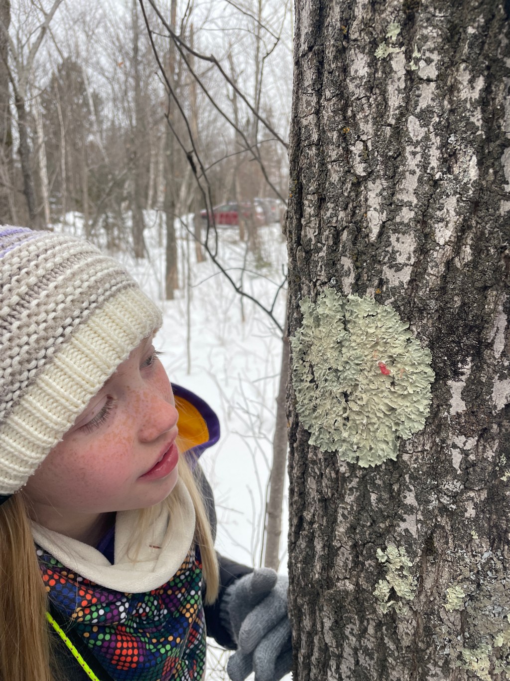
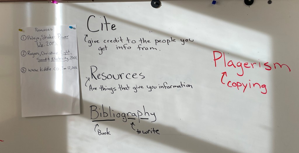
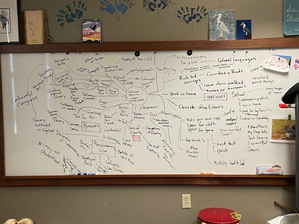
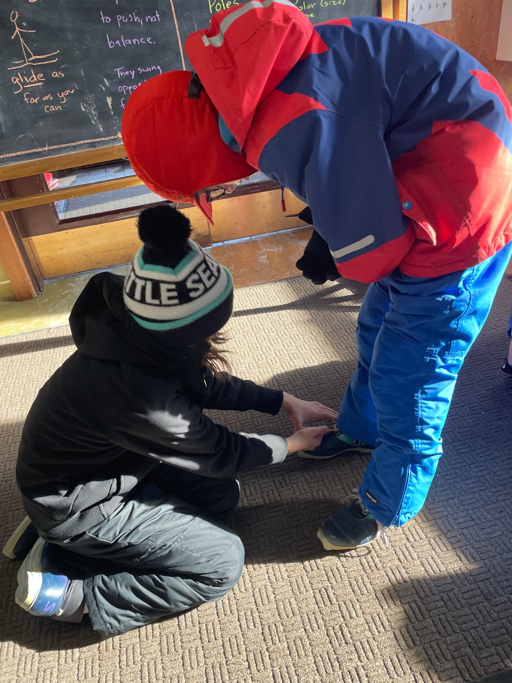
Here are some pictures of the Roman map making:


Leave a comment